
where to ride:
Gravel
The Kettle Valley Rail (KVR) Trail is the longest rail-trail network in BC; an extensive recreational trail providing almost 650 km of connected pathways from Hope to Castlegar – BC Rail Trails
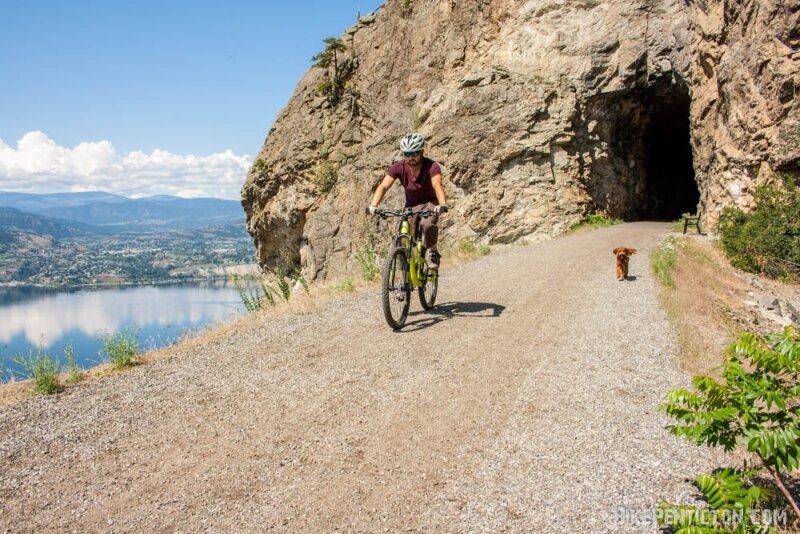
The Trans Canada Trail (TCT) enters Penticton from the north along the east bluffs of Okanagan Lake. Following the route of the former Kettle Valley Railway (KVR), along the trail, you will discover maps, interpretive signage, and the occasional artifact from this historical site.

Penticton Gravel Gals
PGG hosts group ride meet ups for women in the South Okanagan.
This group was created with the goal of getting more women together out on bikes – whether you’re new to gravel, a rider looking for riding buddies, or you just want to explore the trails with other women, PGG is the perfect space for you.
PGG hosts Thursday night weekly social rides and monthly weekend adventures.

Penticton Gravel Crushers
KVR – Penticton West (Channel Corridor)
- 6 km
- 34 mins (avg time)
- Float down the channel in summer
TKVR/TCT – Penticton to Chute Lake/Highlands
-
43 km
-
1, 186 M (high-point)
-
Breathtaking views
-
40+ wineries along the way
-
Stop along The Trail Store Fruit and More
-
Trestle Bridges
-
Tunnels
Unsanctioned Riding Areas
Not all trails in the South Okanagan are sanctioned or formally managed. Areas such as Campbell Mountain, Cockle Mountain, Cartwright Mountain, and the Carmi Trails network remain part of the region’s riding culture but exist outside formal land management agreements and are not maintained by Penticton & Area Cycling Association (PACA).
PACA advocates for responsible access and supports long-term solutions where possible, but we do not plan, build, or maintain trails in these areas. Riders should be aware of potential risks, changing access, and the importance of respecting land ownership and environmental considerations.
KVR – Penticton to Summerland
- 11 km
- 468 M (high-point)
- 48 mins (avg time)
- Being returned to the Penticton Indian Band (this segment is not maintained or patrolled)
KVR – Penticton to OK Falls
-
In Summerland (20 mins of downtown Penticton)
-
10 trails
-
19 kms
-
Take the KVR on the West side of Lake Okanagan before entering Conkle
Penticton to Osoyoos
-
Within 10 mins of downtown Penticton
-
40 trails
-
51 kms
Doable only in sections (no bridge across the Okanagan River south of Vaseaux Lake). There are sections of rail bed that are under dispute by landowners, the section around Oliver is not usable as per the track but there is the nearby International Hike and Bike Trail that runs adjacent to the Okanagan River. Trails BC has a map that shows what is currently doable, which includes road and highway segments. (source: Trails BC Penticton to Osoyoos Bike Route)
The International Hike & Bike Trail follows the course of the Okanagan River channel from McAlpine Bridge on Highway 97 in the north to Osoyoos Lake in the south.
The total distance is 18.4km, of which nearly 10km is paved and there are many trailheads and parking areas that allow for easy access to this family-friendly ride.